Exceptional tours starting from Magic Pass ski areas
Fribourg, Vaud, Valais, and Italian Alps
Where a coffee-table book meets a guidebook, this French-German volume presents more than a hundred ski touring routes starting from the ski lifts of 40 resorts, covering all skill levels. These routes — some are hidden gems — have been carefully designed and selected for their exceptional character. From beginner-friendly trails to steep slopes, and from hikes lasting a few hours to two-day expeditions, this book invites readers to discover the resorts of the Fribourg, Vaud, Valais, and Italian Alps from a new perspective. Illustrated with magnificent photographs and accompanied by numerous maps, it inspires readers to dream long before they’ve even strapped on their skis.
Forword by Géraldine Fasnacht
The bird woman, freeride snowboarder, wingsuit and glacier plane pilot
Editions Slatkine
Freanch and German
216 illustrated pages (maps and fine-art photographs), paperback with flaps, 26 x 18 cm
Price
CHF 39.- Shipping to Switzerland is included. We currently do not ship internationally.
Magic Freerando is also a spirit. Wear it!
Magic Freerando is also a spirit. Wear it!
40 ski areas in the Fribourg, Vaud, Valais, and Italian Alps
Schwarzsee La Berra Charmey Jaun Moléson Les Paccots Les Pléiades Les Rochers de Naye Leysin Les Mosses/La Lécherette Rougemont Glacier 3000 Les Diablerets/Villars-Gryon Les Marécottes Ovronnaz Anzère Evolène Arolla La Forclaz Nax Vercorin Grimentz Zinal St-Luc Chandolin Leukerbad Jeizinen Lauchernalp Eischoll Unterbäch Moosalp Visperterminen Gspon Saas-Almagell Saas-Fee Rosswald Belalp San Domenico Alpe Devero.
Mind blowing Photography
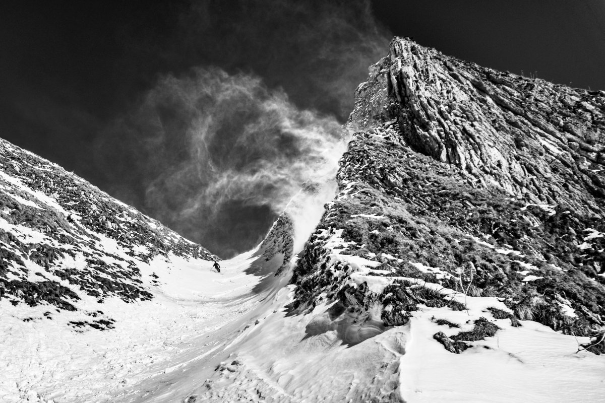
Richly illustrated with photographs taken by the authors and edited by photographer Karin Sidi-Ali, Magic Freerando will have you dreaming from the comfort of your armchair, whether you’re a regular ski tourer or simply a lover of beautiful images. True works of art, a selection of these photos is available for sale as limited-edition, numbered, and signed prints.
Tools to select and prepare for your outing
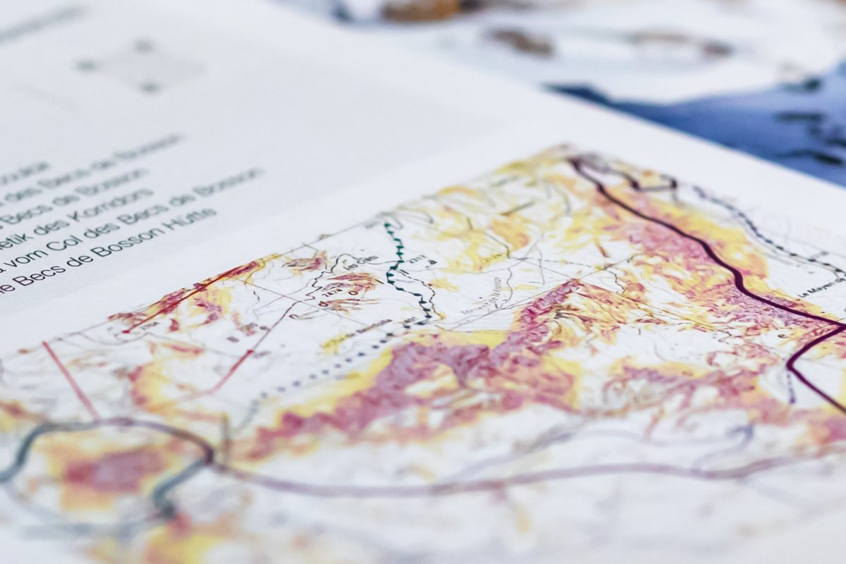
The routes are plotted on the swiss official map, which include slope class designations. An index lists the routes by difficulty level. QR codes link to fact sheets containing all relevant information, along with GPS tracks for the scenic tours.
Tools to select and prepare for your outing
The routes are plotted on the swiss official map, which include slope class designations. An index lists the routes by difficulty level. QR codes link to fact sheets containing all relevant information, along with GPS tracks for the scenic tours.